Our company traces as far back as 1934 when it was called Lack & Blakely Engineering. In November of 1959, it changed from Lack & Blakely Engineering to G.T. Trotter Land Surveyor. In November of 1986, Bruce McClellan partnered with G.T. Trotter and the company became Trotter McClellan Land Surveyors. In January 2015, Tracy Widner took over ownership due to Bruce McClellan transitioning into retirement and the business was renamed TMW Land Surveying.
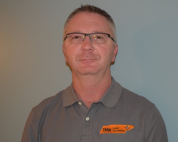
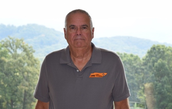
Although retired, Bruce McClellan still remains a large part of the expertise and experience TMW offers its clients. Bruce McClellan is a registered land surveyor in the state of Tennessee. Number 696 out of 3046+ licensed surveyors in the state. He has been working in the field of land surveying since 1962. He is a member of the Tennessee Association of Professional Surveyors (TAPS) and was state president of TAPS in 1988, 1996, 2003 and 2017. Bruce was honored as Surveyor of the Year in 2006. Bruce has held the office of President, Vice President, Secretary and Treasurer for the Mid-East chapter of TAPS on various occasions over several decades. He is also a member of the National Society of Professional Surveyors and a member of the Blount County Planning Commission since 2003. Tracy Widner is a registered land surveyor in the state of Tennessee. Number 2115 out of 3046+ licensed surveyors in the state. He has been working in the field of land surveying since 1987. He is a member of the Tennessee Association of Professional Surveyors (TAPS) and is an active member of the Mid-East chapter of TAPS.
We are known throughout the industry for providing the highest quality services. We have over 100+ years of various documents and maps to reference for research. Other surveyors reach out to us to access some of these documents with their own projects, on a daily basis. Our mission is to provide a quality service to all of our clients and elevate the public perception of Land Surveyors to a level of greater respect for this unique, technical, and scientific profession.
We use the same equipment standard across the industry. Robotic Topcon Total Station, Carlson Brx7 GPS, and Topcon Standard Total Station. Data is converted into drawings using Carlson Survey Cad program.
Land Surveying dates back centuries. It is the detailed study or inspection, as by gathering information through observations, measurements in the field, questionnaires, or research of legal instruments (documents), and data analysis in the support of planning, designing, and establishing property boundaries. Surveyors help determine the placement of roads, railways, reservoirs, dams, pipelines, retaining walls, bridges, and buildings. They establish the boundaries of legal descriptions and political divisions.
In ancient Egypt, a rope stretcher would use simple geometry to re-establish boundaries after the annual floods of the Nile River. Romans recognized Land Surveyors as a profession. They used basic measurements to divide conquered land for tax purposes. Medieval Europe used surveying to establish boundaries for villages and parishes. Some of the earliest well-known land surveyors were Louis & Clark as well as the first US President, George Washington. Registered Land Surveyors are governed by an appointed board, licensed by the state and are subject to state and local laws concerning property rights and boundaries.


